The ENVRI community is delighted to announce its participation in the European Geosciences Union (EGU) General Assembly 2026, which will take place in Vienna from 3 to 8 May 2026.
The EGU General Assembly 2026 brings together geoscientists from all over the world to one meeting covering all disciplines of the Earth, planetary, and space sciences. The EGU aims to provide a forum where scientists, especially early-career researchers, can present their work and discuss their ideas with experts in all fields of geoscience.
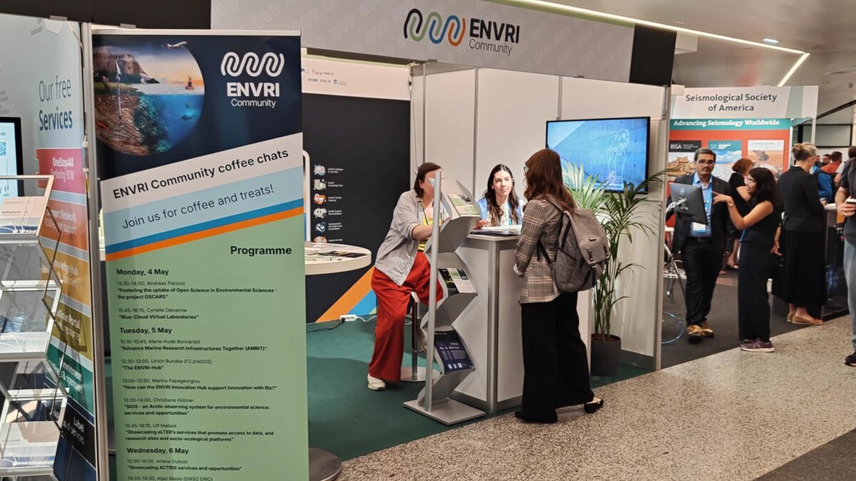
Meet us at the ENVRI Community booth #27 of the EGU26 exhibition to learn about projects such as ENVRI-Hub NEXT, ENVRINNOV, IRISCC, Blue-Cloud 2026, AMRIT, and the wide range of Environmental Research Infrastructures behind them.
Join our coffee chats at the ENVRI Community booth Monday till Wednesday during the EGU coffee and lunch breaks. No registration required. Come to our booth to discuss the topics of your interest with our experts and have a free coffee and treat on us. You can find the full programme of the coffee chats here.
This page is being constantly updated with content from other ENVRI-related projects and RIs.
Explore Relevant Sessions
The ENVRI community is excited to support and promote several key sessions that highlight the collaborative role of RIs in advancing environmental science:
Convener: Anca Hienola | Co-conveners: Tomohiro Oda, Theresia Bilola, Federico Drago, Matti Heikkurinen, Gregor Feig, Anca Anghelea
- Orals | Thu, 07 May, 16:15–18:00 (CEST) | Room 2.24
- Posters on site | Attendance Thu, 07 May, 14:00–15:45 (CEST) | Display Thu, 07 May, 14:00–18:00 | Hall X4
- Posters virtual | Mon, 04 May, 14:12–15:45 (CEST) | vPoster spot A, Mon, 04 May, 16:15–18:00 (CEST)| vPoster Discussion
The paradigm of Essential Variables (EVs) – ECVs, EOVs, EBVs – provides a data-driven foundation for global environmental monitoring (GCOS, GEO, UN SDGs). Yet, their full potential is hampered by interoperability gaps, fragmented governance, and siloed infrastructures, limiting integrated use and translation into local action.
Conversely, local demand for actionable information is growing. Earth Observation data, often as Analysis-Ready Data (ARD), must be transformed into locally relevant, co-created Action-Ready Information (ARI) for climate solutions. This requires integrating global EVs with local data and knowledge.
This session bridges these fronts. We explore technical, infrastructural, and socio-technical advancements to evolve EVs into a truly interoperable, global common language and ensure their effective translation for local decision-making. We welcome contributions on:
– Interoperability Foundations: Semantic frameworks (iADOPT, SOSA/SSN), FAIR principles, and lessons from research infrastructures (ENVRI, CRDCs) aligning EVs across domains and global programmes.
– From ARD to ARI: Case studies on transforming EV-based products into local insights via co-creation, integrating satellite data with in-situ, citizen science, and indigenous knowledge.
– Cross-Scale Infrastructure: Architectures and platforms (e.g., digital twins) enabling seamless data flow from global systems to local applications.
– Policy & Capacity: How interoperable EVs strengthen global policy (IPCC, SDGs) and how local insights inform action, including funding, capacity building, and governance models.
We invite scientists, data engineers, social scientists, and policymakers to connect the “essential” with the “actionable”, forging a coherent path from global observation to local solution.
Convener: Massimiliano Assante | Co-conveners: Christian Pagé, Magdalena Brus, Lesley Wyborn, Chris Atherton, Jacco Konijn, Eugenio Trumpy
-
Orals | Thu, 07 May, 10:45–12:30 (CEST) | Room -2.33
-
Posters on site | Attendance Fri, 08 May, 10:45–12:30 (CEST) | Display Fri, 08 May, 08:30–12:30 | Hall X4
-
Posters virtual | Mon, 04 May, 14:00–15:45 (CEST) | vPoster spot 1b, Mon, 04 May, 16:15–18:00 (CEST) | vPoster Discussion
Scientific discovery today increasingly depends on the availability of digital services and infrastructures that span the entire research workflow. While sensors, simulations, and lab experiments produce massive data, many tools for analysis remain fragmented in stand-alone systems, often hindering collaboration and a comprehensive understanding of complex Earth systems.
To address this, e-Infrastructures and Virtual Research Environments (VREs) are revolutionising how research is conducted. By providing a cohesive ecosystem, these platforms allow researchers from diverse disciplines to manage the research lifecycle: from data acquisition and processing to modeling and dissemination in the spirit of Open Science. This integration enables the research community to transition from isolated tools to interoperable systems like Digital Twins.
This session aims to highlight how interoperable e-Infrastructure services can be used to build VREs and Virtual Labs to provide end-to-end support, strengthening research capacity through collaboration between service providers and scientists. We bring together case studies and new approaches from all domains of the Earth sciences, focusing on both technological implementations and scientific applications.
Contributions in this session will:
– Demonstrate practical examples of how digital services, VREs, and e-infrastructures enhance research workflows in Earth and environmental sciences.
– Present innovative approaches to integrating tools across domains and providers, including outcomes from collaborative projects, virtual laboratories, and digital twins.
– Highlight technical implementations, including research software applications, semantic approaches, modeling practices, and the management of large-scale data.
– Share lessons learned from user-driven design, community engagement, training and support strategies.
– Address challenges of interoperability and sustainability in distributed digital services, highlighting pathways to foster collaboration across infrastructures and research domains.
By bringing together service providers, research infrastructures, and end-users, this session will provide a unique overview of the digital landscape and its impact on science. It will foster dialogue on how different infrastructures can collaborate more effectively to provide integrated, sustainable solutions, embedding Open Science principles across the research lifecycle, and advance both science and society.
Convener: Jean Sciare | Co-conveners: Janne-Markus Rintala, Marina Papageorgiou
- Orals | Thu, 07 May, 16:15–18:00 (CEST) | Room -2.62
- Posters on site | Attendance Thu, 07 May, 14:00–15:45 (CEST) | Display Thu, 07 May, 14:00–18:00 | Hall X5
Environmental challenges such as climate change, biodiversity loss, water scarcity, and ocean degradation demand new ways of observing, monitoring, and understanding the Earth system. Research Infrastructures (RIs) in the ENVRI community—spanning atmospheric, marine, terrestrial, and solid earth sciences—provide the backbone of European environmental observation and long-term data stewardship. Yet, the growing complexity of environmental change requires innovative technologies and services to enhance monitoring, strengthen interoperability, and accelerate the translation of knowledge into actionable insights.
This session brings together researchers, technologists, and stakeholders to showcase advances illustrating (1) the role of emerging technologies and (2) service-oriented approaches in shaping the future of environmental monitoring.
Emerging technologies include advanced instrumentation, miniaturized and autonomous sensors for atmospheric, hydrological, soil, and marine processes, as well as unmanned aerial systems, drones, satellite constellations, and IoT networks that link in-situ with remote sensing. Artificial intelligence (AI) is transforming how environmental data are processed, harmonized, and applied in predictive modelling.
The ocean, a key climate regulator, remains critically under-observed for carbon fluxes, particularly beyond shipping routes. Addressing this gap, the GEORGE project—a collaboration between EMSO ERIC, EURO-ARGO ERIC, ICOS ERIC, research institutions, universities, and industry—develops novel tools and methods to measure carbonate chemistry (e.g., pH, alkalinity, dissolved inorganic carbon, pCO₂) across diverse marine environments.
Services are equally vital. Trans-National Access (TNA) schemes offered by ENVRIs provide opportunities for researchers to use state-of-the-art facilities, advanced instrumentation, and high-quality data services beyond national systems. These services foster collaboration, accelerate innovation, and support co-created solutions to pressing challenges. The convergence of cloud-based infrastructures, FAIR data principles, interoperability frameworks, and user-centered service design ensures that resources are not only technically robust but also widely accessible and impactful for science, policy, and society.
Short Courses
Earth and environmental sciences thrive on data diversity: from ocean temperatures to biodiversity records, from climate indicators to geological observations. Yet, this very diversity can also be a barrier: different datasets are described with different standards, stored in different formats, and are difficult to connect across research infrastructures. The
ENVRI-Hub provides a set of tools to overcome these challenges. It offers researchers a unified framework to discover, access, and reuse complex and multidisciplinary data.
This short course will give researchers a practical introduction to how ENVRI-Hub workflows can directly support their own projects, to build more reproducible and impactful science.
Splinter and Townhall Meetings
Organized by Galane Peyre | Co-organized by: Ariane Dubost, Marina Papageorgiou
Location: Room 2.61
Wed, 06 May, 10:45–12:30 CEST
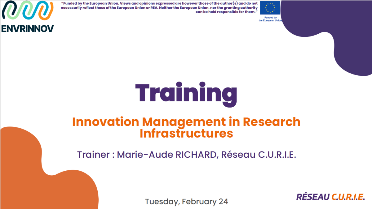
As part of the ENVRINNOV project, a series of capacity building sessions are being developed to promote collaboration and establish a shared understanding of Innovation concepts and processes in the ENVRI community, including on Technology Development, Technology Transfer, and Industrial Approach.
We are excited to announce the third ENVRINNOV training session specifically designed to enhance your knowledge and expertise in innovation and technology transfer within research infrastructures.
This training session is a follow up to the webinar training session organised early 2026. However, we warmly invite all members of the ENVRI community, as well as anyone interested in innovation in environmental research infrastructures, to participate in this interactive and engaging training session. Sign up here.
Wed, 06 May, 19:00–20:00 (CEST) | Room N2
Generative AI, large-scale Digital Twins, as well as new satellite missions in Earth observation promise to lead to a significant improvement of our understanding of “System Earth”. At the same time, there is urgent need for transfer of knowledge and higher-level data products for societal stakeholders, to support science-based decision making.
There has been substantial effort put into building a suite of research infrastructures for Earth and environmental sciences within the European research ecosystem. At the same time, various countries have implemented respective national infrastructures, shaping communities on Earth and environmental sciences across boundaries of traditional disciplines.
To really serve the scientific community on the long run, this ecosystem has to provide services on a reliable and sustainable basis. Likewise, further communities have to be approach to foster a systemic understanding of System Earth and allow for developing solutions to grand challenges such as adaptation to climate change or counteracting loss of biodiversity. Such solutions will hard to be derived, if data is hindered in flowing freely between silos build by organizational and/or national boundaries. Furthermore, to really make use of the European AI Factories or lighthouse projects like Destination Earth, a joint data space for Earth and Environmental sciences has to be created making use of the complementary opportunities provided by national as well as transnational initiatives.
Starting at EGU 2025 Data Terra (France) and NFDI4Earth (Germany) have initiated a forum for discussion, bringing representatives of various national and European research infrastructures together and allowing users to join the discussion, presenting their needs and expectations in shaping the European Open Science Cloud for Earth system sciences.The aim of the meeting is to bring together perspectives of users, data providers, infrastructure providers and policy makers to discuss pathways for integrating existing initiatives into a virtual network of infrastructures serving the Earth and Environmental science community.
How You Can Participate
We invite all ENVRI RIs and supporting projects to:
We look forward to seeing you at EGU26, as we highlight the collective strength and impact of the ENVRI community in advancing environmental research!
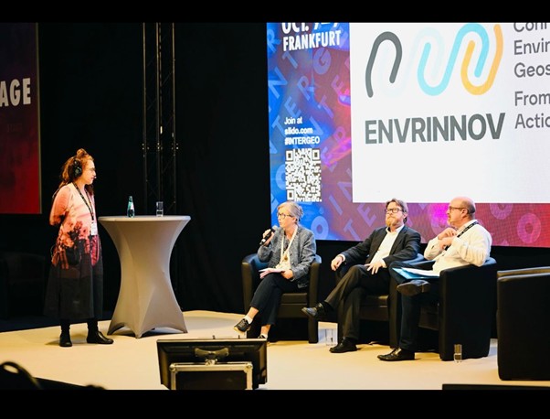
Check out what we did in 2025!

GEORGE project received funding from European Union’s horizon Europe programme under grant agreement no.101094716