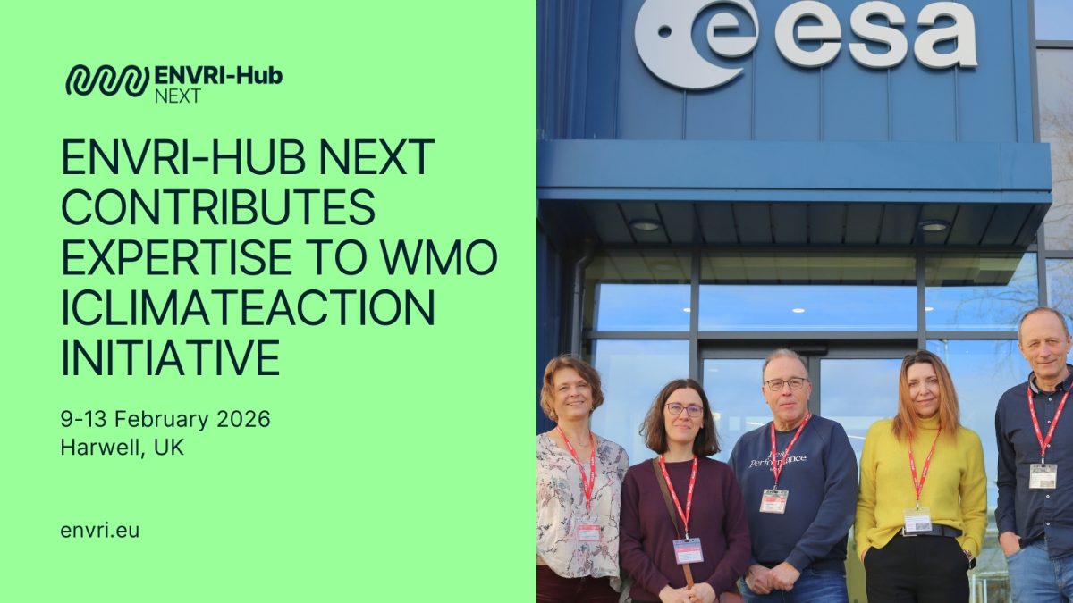
In the photo, left to right: Cathrine Lund Myhre (ACTRIS), Marta Gutierrez (EGI Foundation), Alex Vermeulen (ICOS), Anca Hienola (Finnish Meteorological Institute), Paolo Laj (WMO). Photo courtesy of WMO and iClimateAction.
Over the past several months, ENVRI-Hub NEXT representatives have played an active role in shaping discussions within the WMO’s iClimateAction (iCA) initiative, contributing key expertise on Essential Climate Variables (ECVs) and technical developments from the ENVRI-Hub platform.
The engagement began in the autumn of 2025 with a series of technical webinars designed to prepare participants for an in-person joint meeting of the GCOS-WGClimate-iClimateAction, hosted at ESA in Harwell, UK, from 9 to 13 February 2026. These sessions aimed to give participants a shared understanding of the current landscape of climate data and knowledge systems, enabling focused discussions on gaps, priorities, and next steps.
“Essential Climate Variables (ECVs) are critical to understanding global climate impacts. The climate observation data value chain is a complex ecosystem currently undergoing rapid evolution driven by the AI revolution. ENVRI-Hub NEXT will support the iClimateAction activity by facilitating the assessment and exploitation of the diverse climate observing systems the ENVRI community offers.” – Marta Gutierrez, EGI Foundation, ENVRI-Hub NEXT Project Director
ENVRI-Hub NEXT Webinar: Harmonising Access to ECV Observations
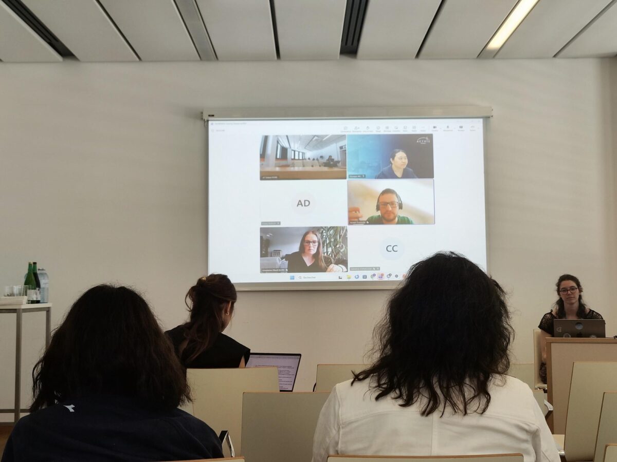
On 15 January 2026, ENVRI-Hub NEXT presented its work during the second iClimateAction webinar. Marta Gutierrez (EGI Foundation) introduced the ENVRI community and the ENVRI-Hub NEXT project, with technical contributions from Anca Hienola (Finnish Meteorological Institute) and Ulrich Bundke (Forschungszentrum Jülich).
The presentation highlighted how ENVRI brings together Europe’s major environmental research infrastructures, collecting ground-based observations across the atmosphere, land, oceans, and ecosystems. These observations play a critical role in the climate data value chain. However, a persistent challenge is that high-quality data often remains difficult to find and use together due to differing formats, access protocols, and terminologies across infrastructures.
ENVRI-Hub NEXT addresses this by providing a common access layer that connects these distributed infrastructures without centralising their data. A key focus is on Essential Climate Variables (ECVs): scientists from different research infrastructures work together to map their existing measurements to the ECVs defined by GCOS, ensuring that data from diverse sources can be compared and combined reliably.
The discussion also emphasised usability. For many users, downloading entire datasets is neither practical nor necessary. ENVRI-Hub NEXT is therefore developing targeted access capabilities, allowing researchers to extract precisely the data they need—by location, time period, or variable—and use it directly within their analysis tools, without needing to master each infrastructure’s system in detail.
Bringing ENVRI Perspectives to the Harwell Meeting
Building on this webinar, Marta Gutierrez, Anca Hienola, Alex Vermeulen (ICOS) and Cathrine Lund Myhre (ACTRIS) represented the ENVRI-Hub NEXT consortium at the in-person GCOS-WGClimate-iClimateAction Joint Meeting in Harwell, UK (9–13 February 2026). There, they shared perspectives from the ENVRI community, contributing to discussions aimed at strengthening the technical basis for future climate reporting, planning, and coordination under the next phase of iClimateAction.
The meeting brought together specialists in climate observations, data, and knowledge systems from GCOS, WMO, GEO, and partner organisations, working collectively to support the delivery of the new GCOS Status Report.The ENVRI community contributed with the expertise and key contributions from the in-situ networks they operate and the ECVs that they have to offer.
This engagement underscores ENVRI-Hub NEXT’s commitment to advancing global interoperability for climate research, ensuring that Europe’s environmental research infrastructures are not only connected but actively contributing to international frameworks and policy needs.
Learn more about iClimateAction: https://wmo.int/iclimateaction